Skip to Content
Need Help? Call us on 0208 385 3450
James Levelle's race for the future
Last summer I had a crazy idea… race half way across the world from the UK to Chile – fossil fuel free – on a mission to find out how the next generation feel about the climate crisis and then amplify their voices in a film that I would deliver to the UN Summit in Santiago. If I could get there in time…
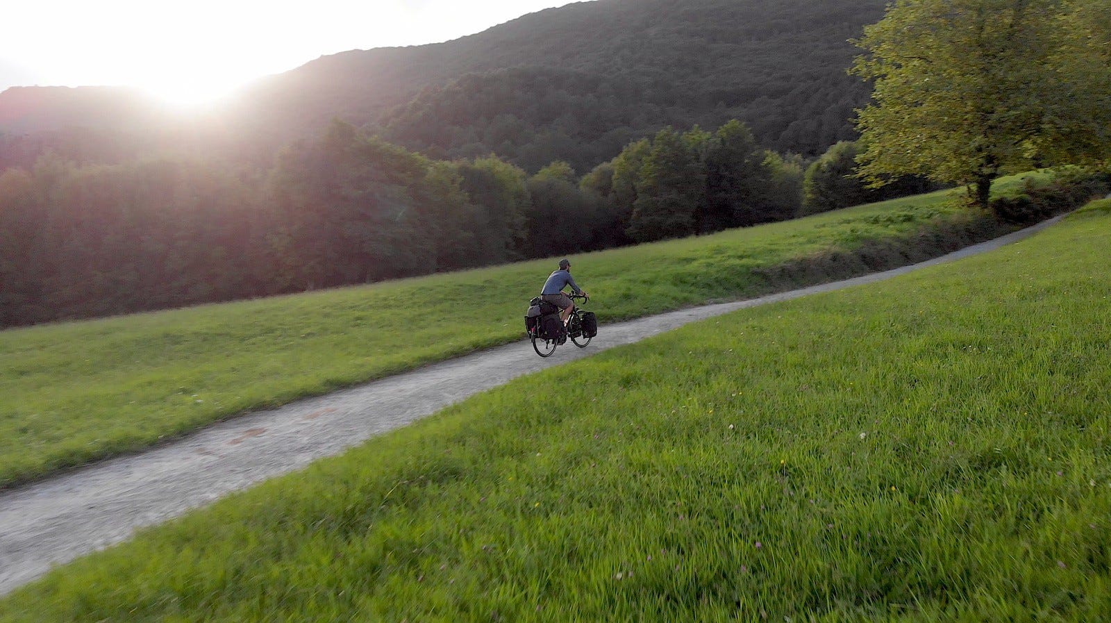
So on a bright and beautiful morning in late August, me, over 40 kilos of kit and my shiny new Genesis Tour de Fer 30, set off on a 30ft sailboat from the south coast of England for France. Time was not on my side. The tall ship taking me to South America was departing from Seville in southern Spain and I had just over three weeks to get there.

Thick fog filled the English Channel and after a slightly nerve-racking zero visibility voyage through the world’s busiest shipping lane I arrived in Normandy and hopped on my bike. Thanks to a cool combination of pedal power and electric trains I whizzed through France without a hitch.
“Emission free travel’s a doddle,” I mused to myself as I approached northern Spain and the Pyrenees Mountains.
Now, as most cyclists know, route planning is key to a successful cycle tour. The Pyrenees are crisscrossed by a network of nice winding well-maintained roads and basically if you stick to them, you’ll be up and over no problem. Unfortunately for me Google Maps had other ideas.

I checked my phone as the mountains loomed ever larger ahead. I flicked open the app and was swiftly served a lovely looking route that climbed up through a forest, past a monastery and on to the summit. So, as the summer sun dipped low and evening approached, I cycled on excited for the road ahead.
I was a little surprised then that shortly after entering the forest my nice smooth road got demoted to a dirt track.
“Not the end of the world,” I thought, “a bit of off-road riding will be fun!”
I chugged on cheerfully until less than a mile later the dirt track ceased to be a track at all and instead remodelled itself into a steep, impossible to cycle, boulder-strewn footpath. This was disappointing.

I had two choices; either back track and find a nice normal road up the mountain or persevere on a bonkers bloody-minded mission not to be beaten by a bunch of bloody boulders. I picked the latter because that’s how my strange brain works.
Fully loaded with the weight of a small person packed into my panniers, I began to carry my bike over the boulders and slowly inched my way up the mountain. It was one of the most exhausting and insane endeavours I’ve ever undertaken.
Then my phone died so I didn’t have a map.
Then night fell so I couldn’t see.
“F#%& sake!” I thought, “I’ve really done it this time.”
Sweat-drenched, shredded by brambles and covered in dust I hauled the bike over yet more bothersome boulders. The Tour de Fer was indestructible, but I was a mess. The question now was where to hunker down for the night and as I felt my way for a flat spot to camp, I got some long overdue luck. I’d stumbled upon what looked like a logging road.
Left, or right? I jumped on the bike and went right. My giro lights kicked in illuminating the track ahead of me, and whilst I had no idea where I was going at least I was cycling again, and that felt great.
I rode cluelessly into the night wondering where on earth I’d end up next. A light glimmered through the trees ahead, I raced towards it and minutes later I arrived at a monastery. Was this the monastery that Google Maps had so mischievously misdirected me to?
A young couple exited the old building and headed for their car.
“Good evening,” I said, “Where I am please?”
They confirmed this was indeed the Google Maps monastery. I was back on track.
“But why are you cycling your bike and all those big bags through a forest in the dark?” they enquired.
I explained the mishap with the map and the whole boulder debacle. They gawped at me wide eyed as if I’d stepped out of a flying saucer. I smiled uneasily back and after a slightly awkward silence they revealed that I had just casually carried almost 60 kilos worth of bike and bags up and over one of the toughest stretches of the legendary Camino de Santiago pilgrimage trail.
“Not a cycle route then?” I queried.
“No,” they said.
“Right,” I said.
We wished each other well and on I rolled into the dark, past the monastery and up a nice winding road to the top of the mountain. I found a wild camping spot, zipped into my bivvy bag and quickly conked out.

The next day I woke up to a spectacular view of the Atlantic Ocean, packed up and enjoyed a super speedy descent into northern Spain.
Now there’s almost certainly more than one moral to this story. ‘Always bring a map’ is a strong contender. ‘Carry a power bank for your phone’ is another. Or maybe just ‘make sure you plan ahead’?
Either way I’m happy to say that I eventually made it to Seville in time to board the sailboat for South America, where 6000 miles away my Tour de Fer and I took on the massive Andes Mountains… but that’s another story.
Thanks James for a brilliant tale from the trail! You can give the man himself a follow over on Instagram, and keep a look out for our next blog coming soon...